
Description
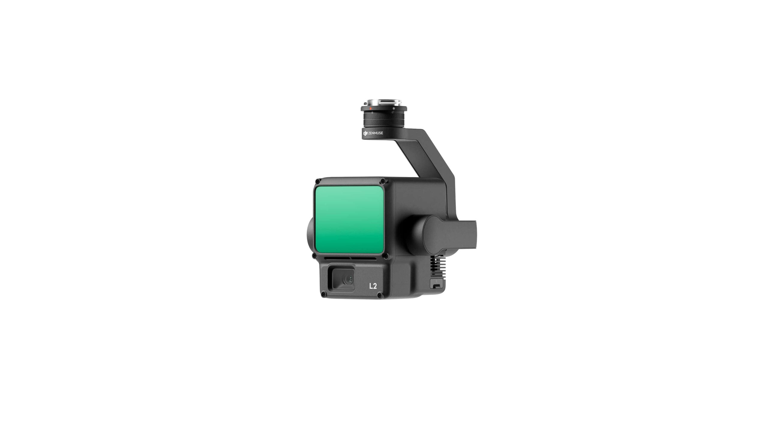
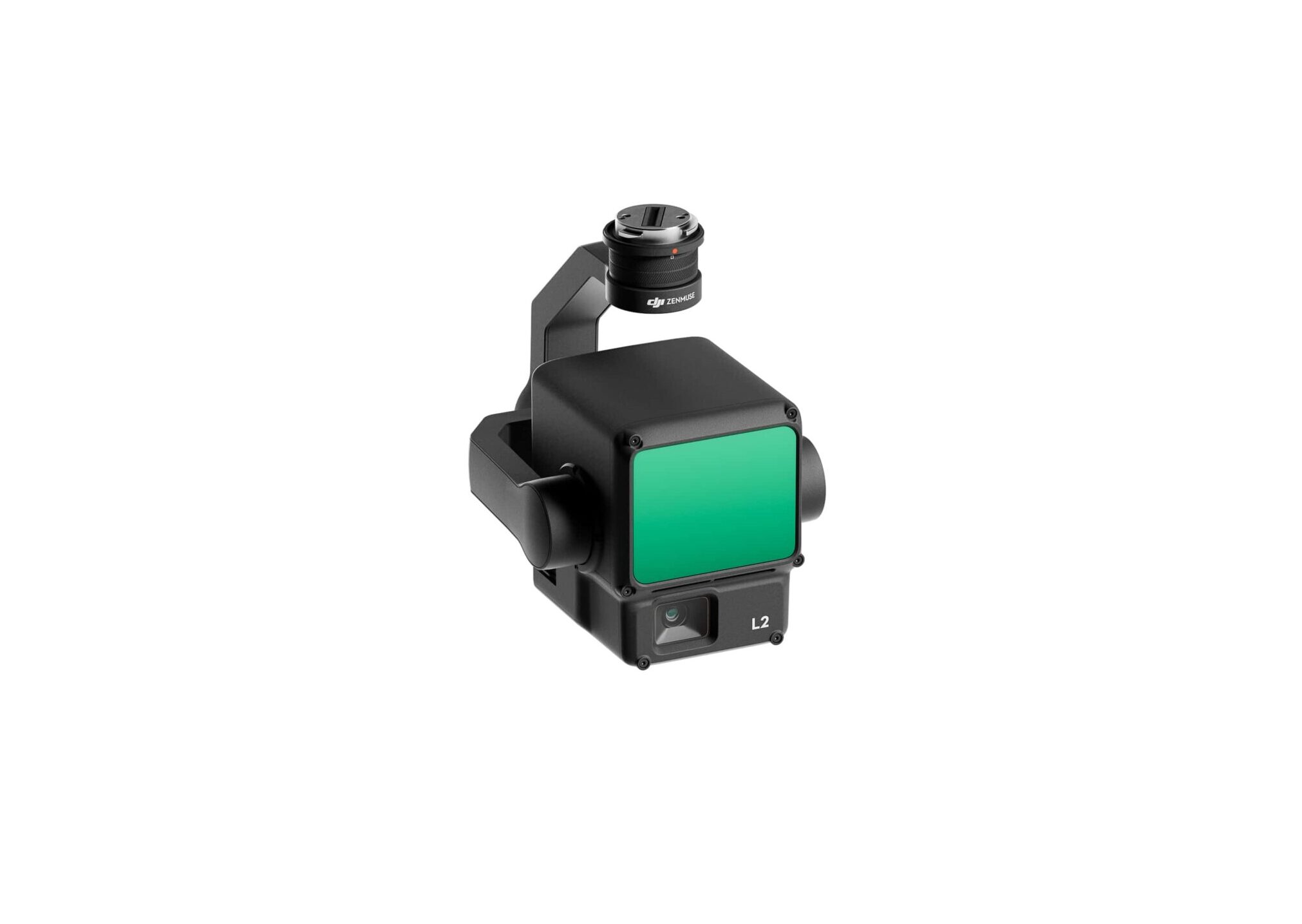
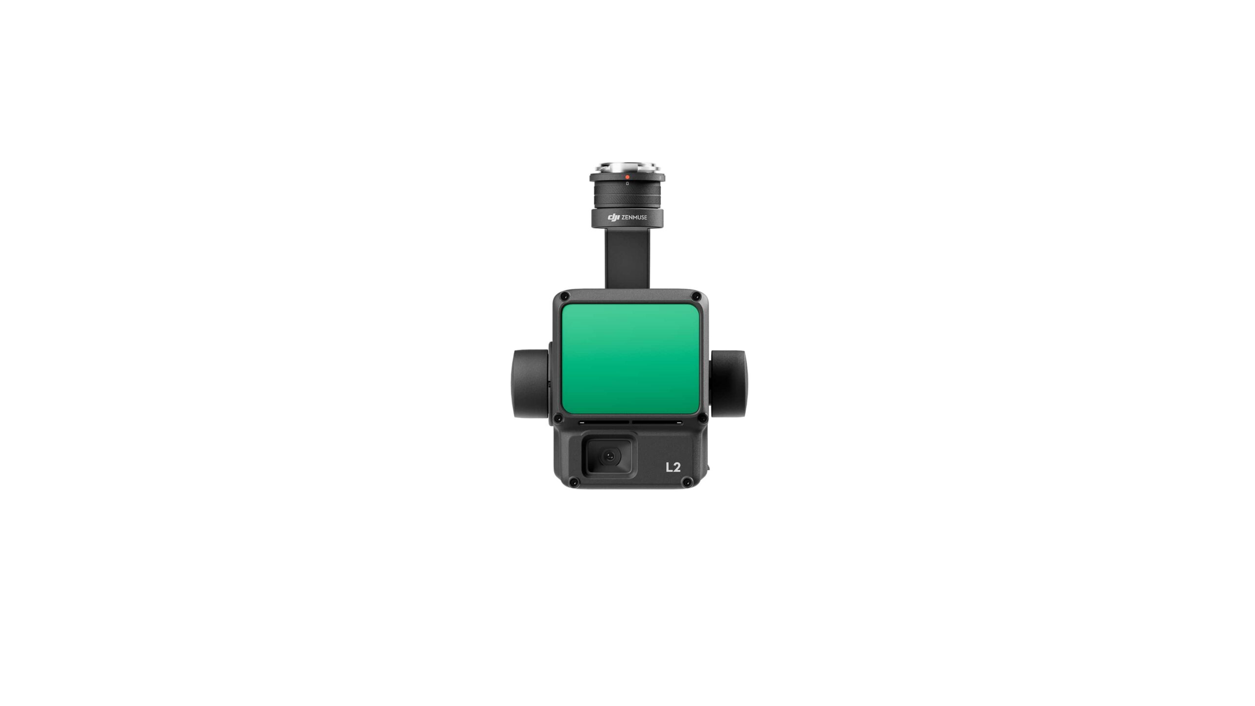
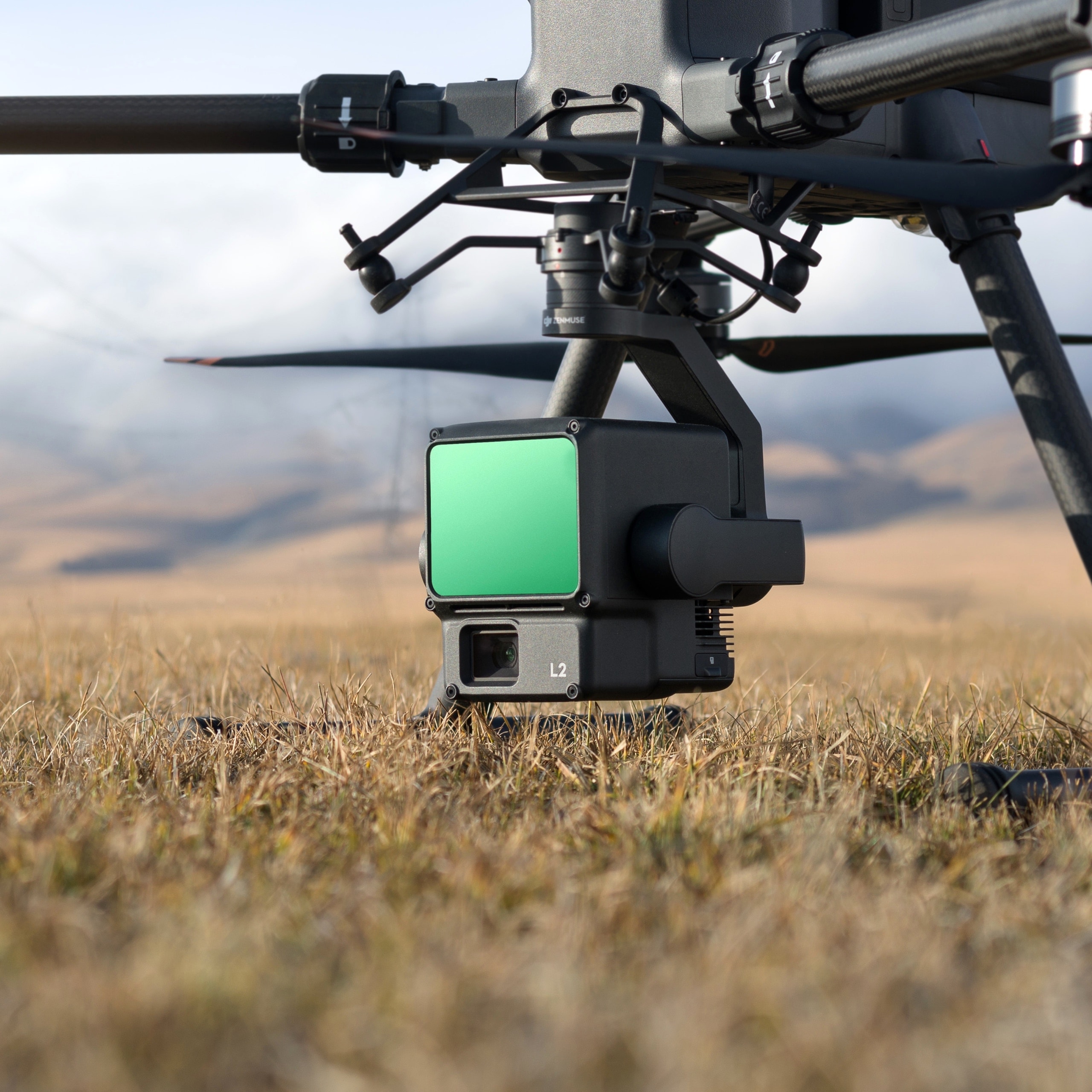
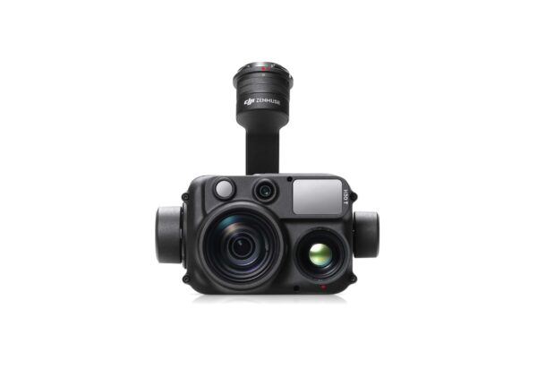
The DJI Zenmuse L2
The Zenmuse L2 is equipped with a high-quality lidar sensor, a self-developed high-accuracy IMU system, and a 4/3 CMOS RGB mapping camera. This advanced technology provides DJI flight platforms with extremely accurate, efficient, and reliable data. This data can be applied to various situations, such as power line mapping, forest management, and land surveying.
High Accuracy at a High Level
By combining GNSS with a high-precision self-developed IMU, this solution achieves a vertical accuracy of 4 cm and a horizontal accuracy of 5 cm.
Exceptional Efficiency
The L2 is ready to use as soon as it is switched on and can collect both geospatial and RGB data in an area of 2.5 km² during a single flight.
Intuitive Operation
In combination with the Matrice 350 RTK and DJI Terra, the L2 offers a ready-to-use solution that is easy to use.
Lidar sensor
The L2 has 30% more detection range than its predecessor, detecting at 250 meters 10% reflectivity and 100 klx, and at 450 meters 50% reflectivity and 0 klx. The typical operating height now extends to 120 meters, which significantly improves efficiency.
Smaller Laser Points and Dense Point Clouds
The L2 not only detects smaller objects with more detail, but can also penetrate denser vegetation, resulting in more accurate Digital Elevation Models (DEM).
Supports 5 Returns
In densely vegetated areas, the L2 can capture more ground points under the leaves.
Effective Point Cloud Rate
In both single and multiple return modes, the L2 can achieve a maximum emission rate of 240,000 points per second, allowing more point cloud data to be acquired in a given time frame.
Two Scanning Modes
The L2 supports two scanning modes, which provides more flexibility for users based on their requirements. In the repeated scanning mode, the L2’s LiDAR can achieve more uniform and accurate point clouds. In the non-repeated scanning mode, the L2 provides deeper penetration for more structural information, making it suitable for power line inspection, forestry surveys and other scenarios.
Frame-based Design
The frame-based design results in an effective point cloud of up to 100%. Combined with a three-axis gimbal, it provides more possibilities for surveying scenarios.
High-Accuracy IMU System
The self-developed IMU system with high accuracy and combined with the RTK positioning system, gives the L2 access to highly accurate position, velocity information. In addition, the improved IMU system improves the operational reliability and precision of the L2.
No IMU Warm-up
The performance of the IMU system has been greatly improved, making it ready to use as soon as it is powered on. In addition, the corresponding drone is ready to start tasks immediately once the RTK system is in FIX status, providing an optimized experience.
RGB Mapping Camera
The L2 has a 4/3 CMOS sensor with a mechanical shutter, The pixel size has been increased to 3.3μm, and the number of effective pixels is now 20MP, resulting in a significant improvement in the overall image quality and a more detailed point cloud. When point cloud collection is not needed, the RGB camera can still take photos and videos, or collect images.
Reviews
There are no reviews yet.